en formato pdf
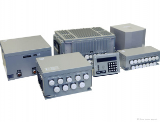
The Kama-NS integrated small-sized navigation system (ISNS) is designed to provide information support of navigation tasks, control of the ship traffic and weapon systems.
The system generates the following data:
- latitude and longitude, altitude of the object;
- course and roll angles;
- speed components;
- rate of roll and change course;
- components of instantaneous speed, displacement and acceleration caused by rolling and the orbital motion of the ship.
Composition:
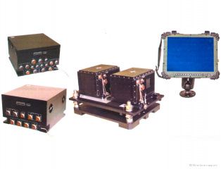
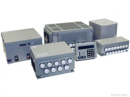
block of sensors is produces inertial initial information, contains three-axis fiber optic gyroscope, and three accelerometers;
electronic unit is designed for conversion and processing of initial and external signals (from the log and from GPS/GLONASS receivers), and production output in analog or digital data;
plotting board provides of the parameters indication, alarm signal injection and management of the modes.
The system provides a output of information at the speed of the object up to 400 knots, maximum roll and pitch angles up to 90° and latitude 85°N and 75°S.
Kama-NC is adjusted according from the receiver of GPS/GLONASS information in an observational mode.
Kama-NS is corrected by a signal from the lag (200-20,000 pulses/n.m. or NMEA 0183 in standalone mode).
en formato pdf


